Recent Fires Subside Fast, Even Fewer On The Way With Cool Down
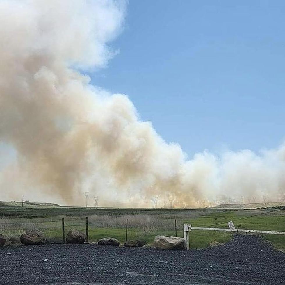
There have been several wildfires over the past few days with all the wind that's hit North Central Washington.
Meteorologist Steve Van Horn with the National Weather Service says there’s a reason why the fires haven't caused much damage.
"It's still just a bit early in the season for these fires to get big," said Van Horn. "That's mostly just because the fuels aren't quite receptive, although there are some pockets, which is why we are seeing some fires pop up."
There have been several recent wildfires that have popped up and then subsided being fought by firefighting crews.
A fire that started Wednesday afternoon just south of Ephrata is now in the mop up stage.
The Echo Viewpoint and Wild Horse Monument at eastbound I-90 overlooking the Vantage Bridge and the Columbia River is currently closed after a wildfire ignited close by. That fire was also short lived.
Two fires in Okanogan County covered hundreds of acres, but were quickly subdued on Wednesday.
And a fire near the Wells Dam south of Pateros closed down U.S. Hwy 97 in the area for a couple of hours Tuesday afternoon,
Coming up, there could be a major break from any potential for wildfires with unusually cool weather moving through North Central Washington.
Van Horn says a trough of lower pressure will hover over the region, bringing lower temperatures and a greater chance for showers.
" The cooler temperatures means higher relative humidity," Van Horn said. "And also, if we can get any additional rainfall, that's also going to help as well. So, that'll be a pattern that'll help suppress the potential for fires to start and spread."
High temperatures will only reach the upper 60's starting Sunday through next Wednesday
More From 99.5 The Apple